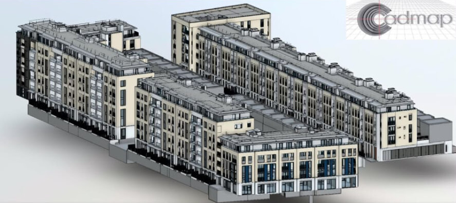
3D laser scanning · BIM
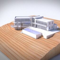
BIM Revit model — residential development
A full Revit model of a multi-block residential scheme, built from measured survey data for the design team.
TSA approved practice · PAS 128 utility surveys · London & the South of England
Surveying & geospatial · London & the South
Topographical, measured building and PAS 128 utility surveys for architects, developers and engineers — delivered in the formats your design team works in.
30+
Years surveying


About Cadmap
Cadmap Limited is a professional geospatial land and utility surveying company, fully accredited, specialising in topographical surveys, measured building surveys and PAS 128 utility mapping GPR surveys.
Precision · Experience · Technology
15 survey disciplines across land, buildings, underground services and digital modelling — produced to RICS specification and PAS 128 where it applies.
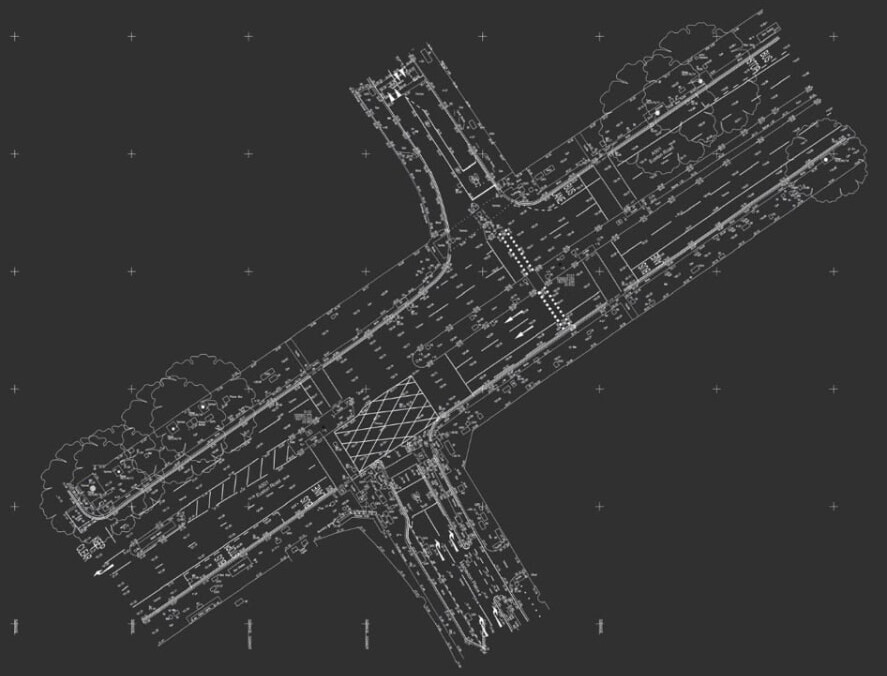
01 · Land & site
Topographical land surveys across London, Surrey, Sussex, Brighton and Southampton — accurate site plans recording levels and ground features for planners, architects, engineers and developers.
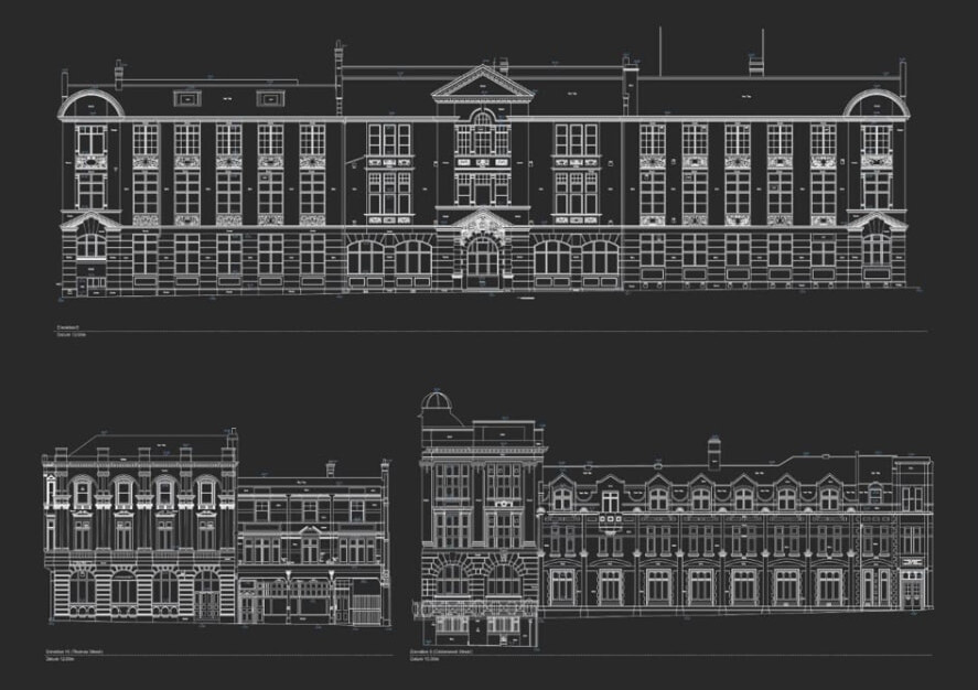
02 · Buildings
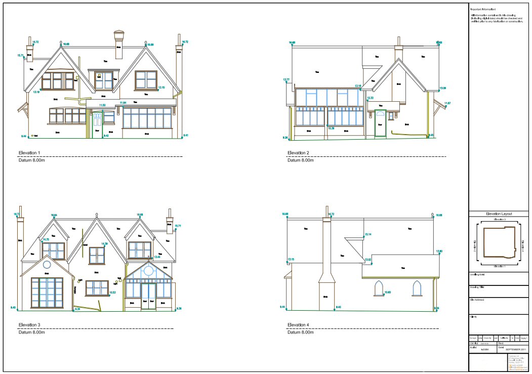
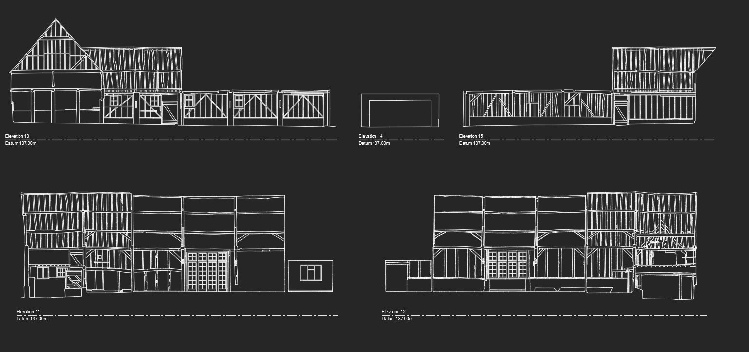
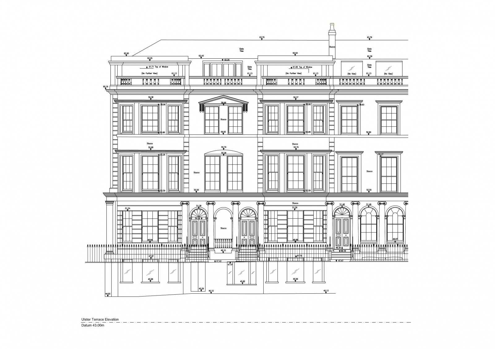
Measured building surveys across London, Surrey, Sussex, Brighton and Southampton — detailed digital record drawings of a building's dimensions and structure for planning, refurbishment and heritage work.
03 · Underground & drainage
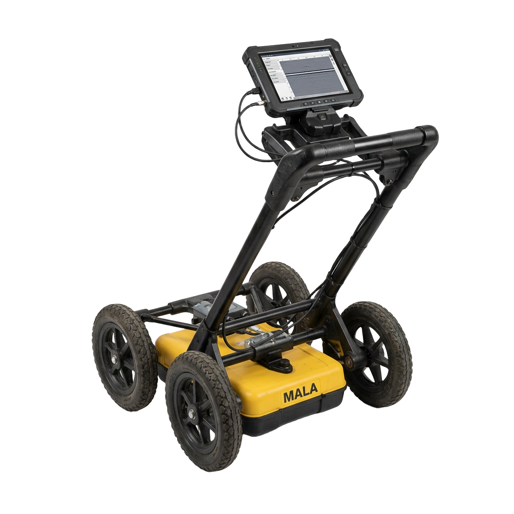
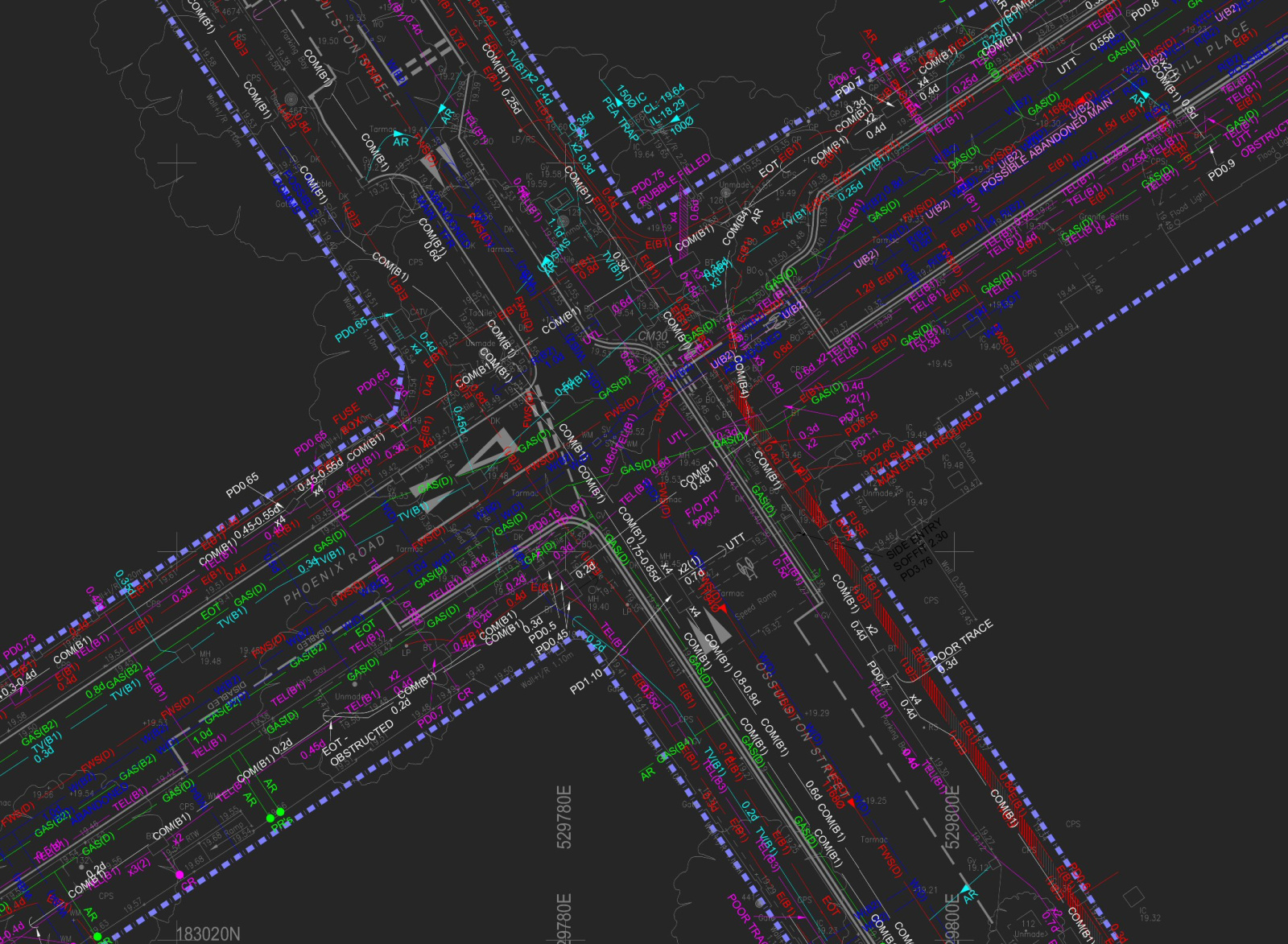
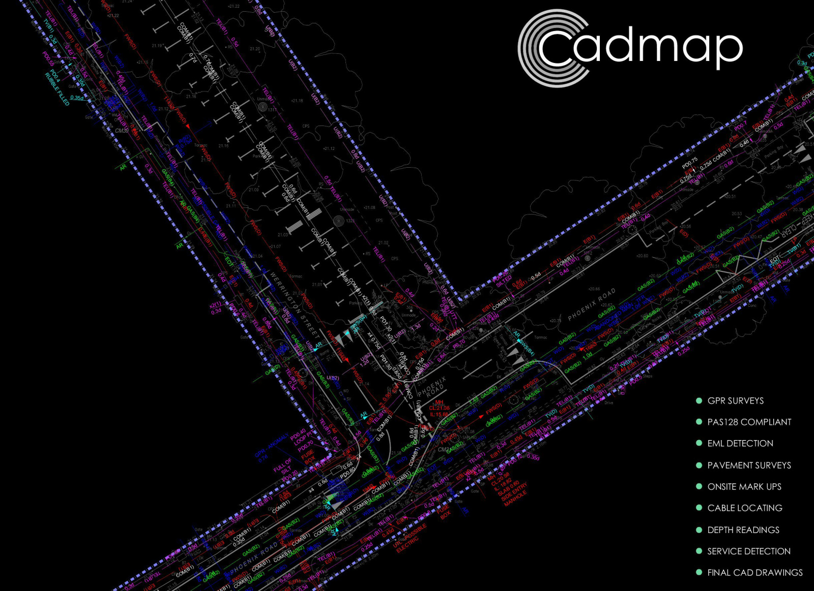
PAS 128 underground utility detection and mapping across London, Surrey, Sussex and Brighton, using Ground Penetrating Radar and radio detection — so you know what is below before you dig.
04 · Digital & visualisation
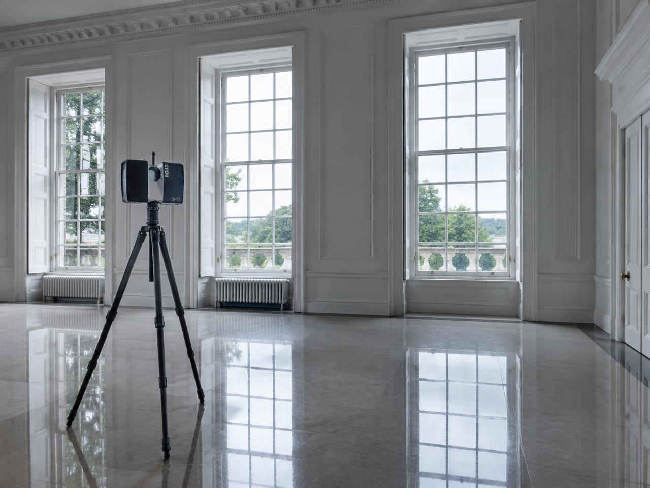
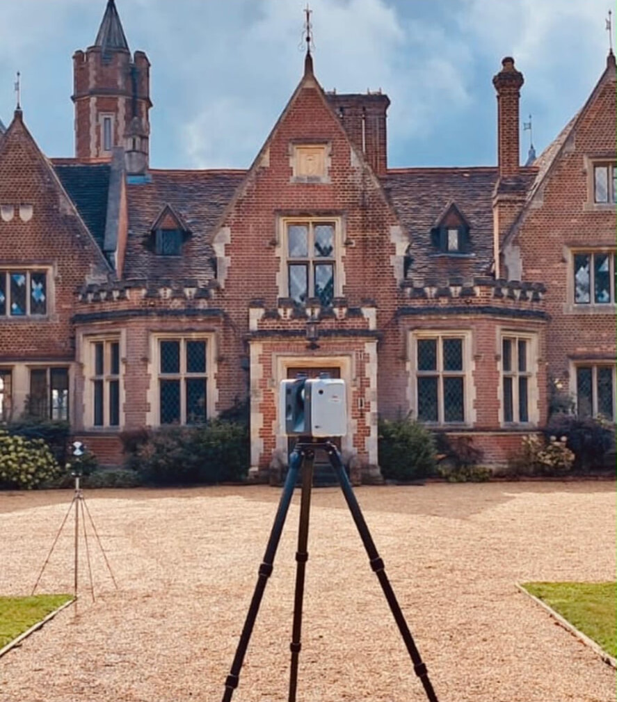
High-density point cloud capture with the Leica ScanStation P20, registered and modelled into BIM deliverables from LOD 100 to LOD 400.
Examples of our work
3D laser scanning · BIM
A full Revit model of a multi-block residential scheme, built from measured survey data for the design team.
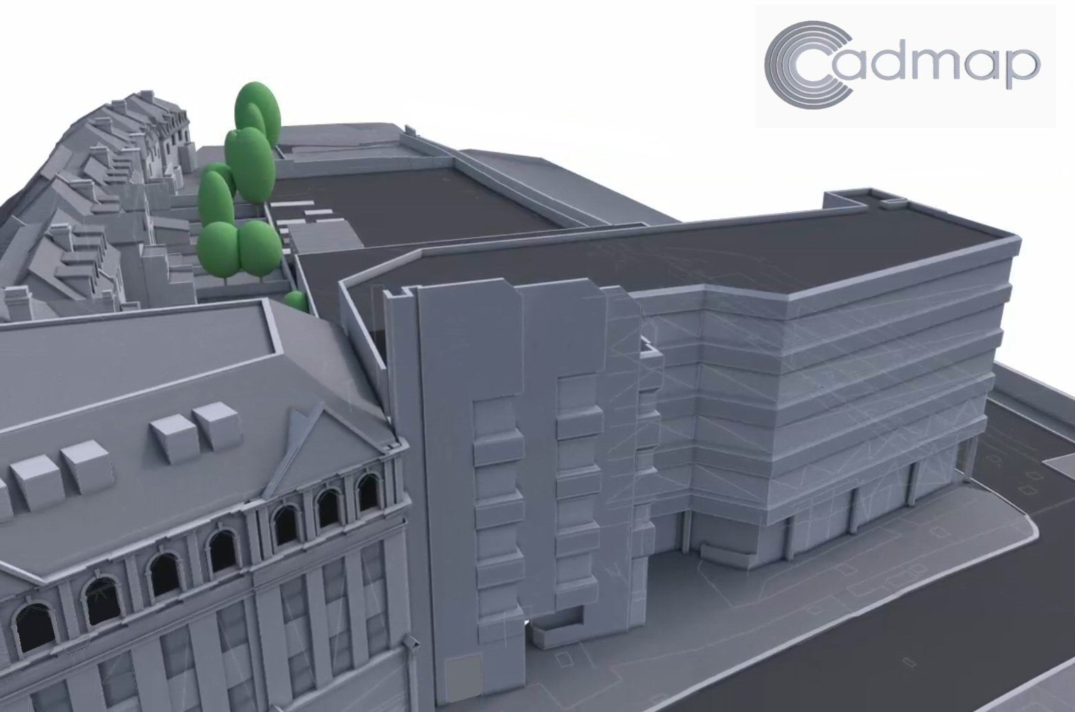
Measured building survey
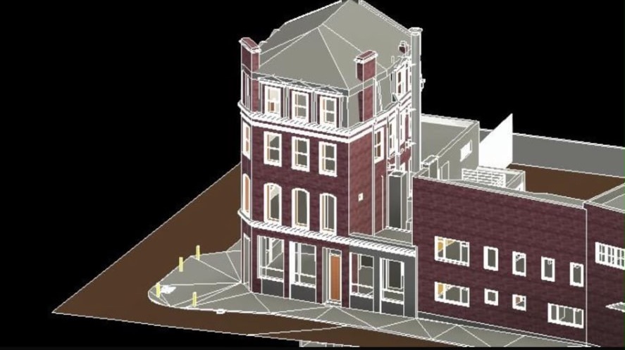
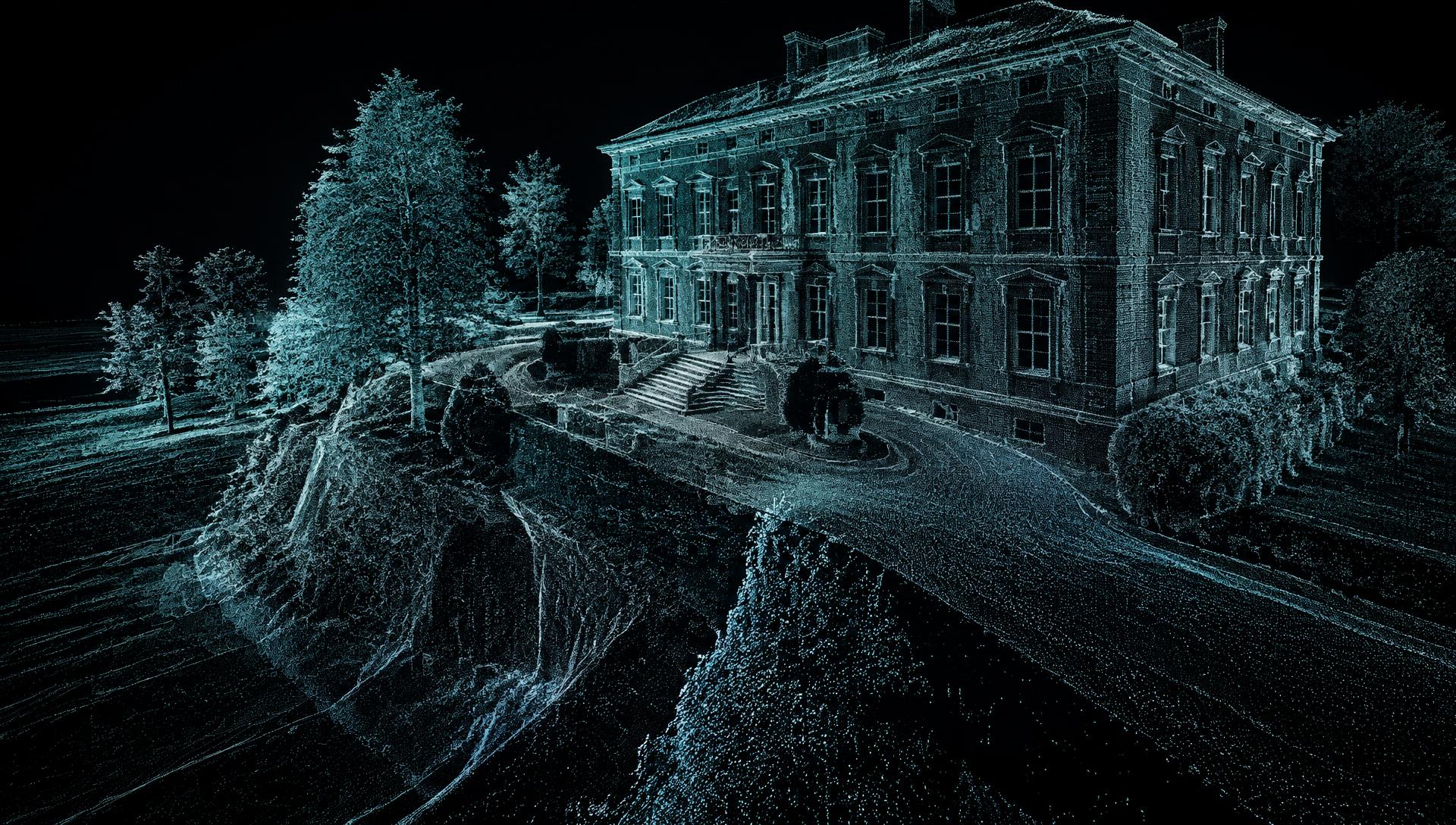
A textured 3D model of a period corner building and its neighbours, with the surrounding pavement surface.
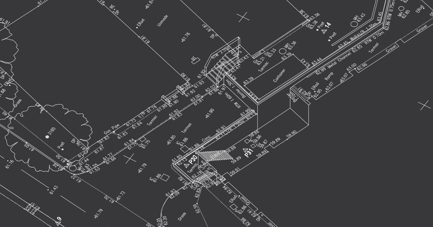
Topographical survey
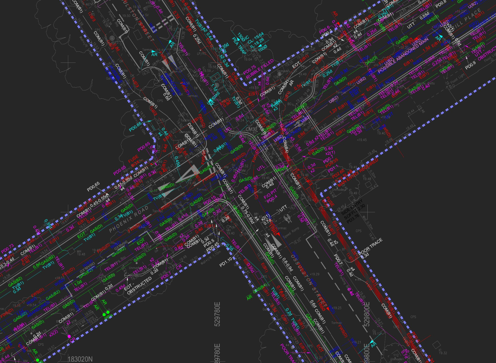
Detailed topographical drawing of a road junction — kerbs, road markings, street furniture and trees.
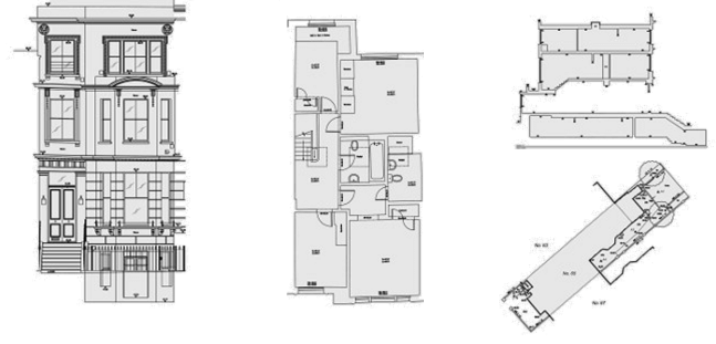
Measured building survey
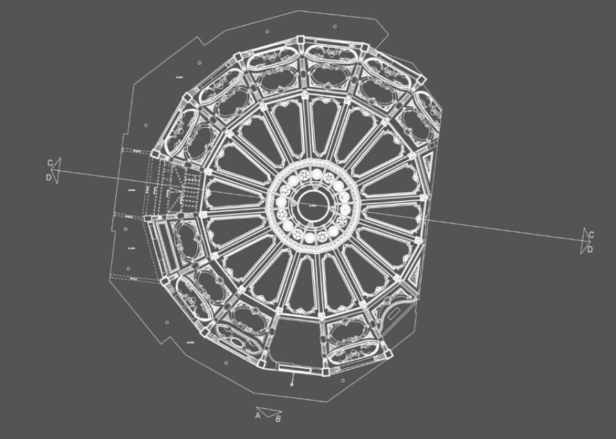
Measured reflected ceiling plan of a domed interior, with section lines for elevations.
How Cadmap works
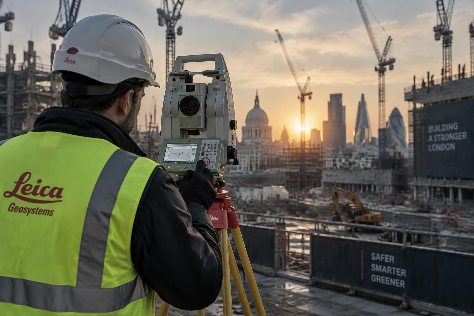
Our own surveyors on site with Leica instruments, and our own team drawing the results — so the data you receive is data we can stand behind.
Tell us the site, the drawings you need and the deadline you are working to. We advise on the right survey type and specification, then return a free written quotation — usually within 24 hours.
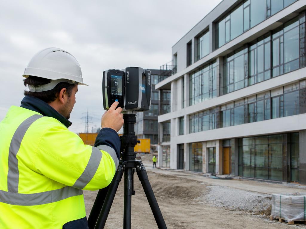
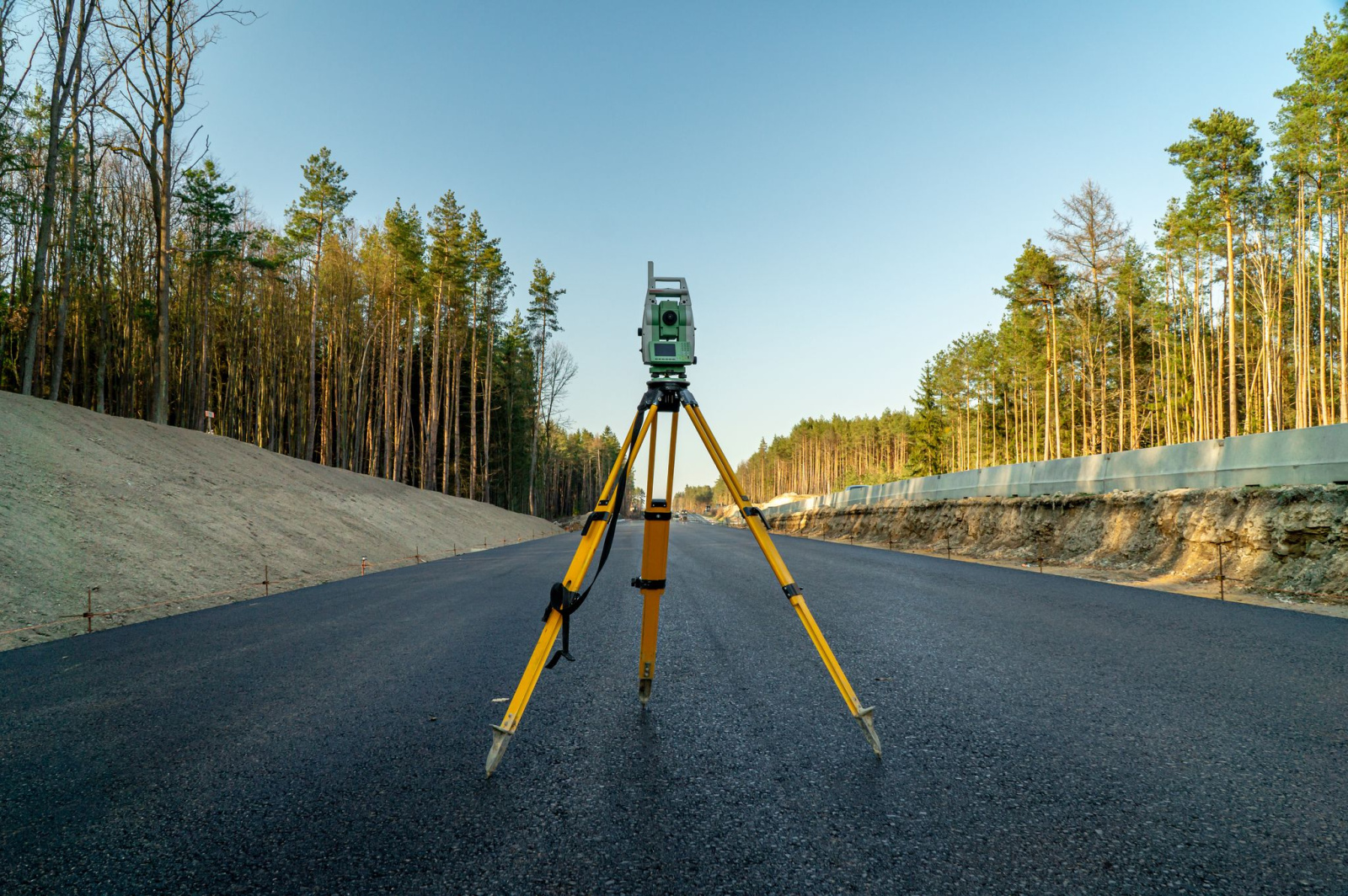
Our CSCS-carded, CRB-checked surveyors attend site with Leica robotic total stations, GPS, 3D laser scanners, GPR and CCTV drainage equipment, tying everything into OS grid and datum where required.
Survey data is processed in SCC, Geosite Survey Office, Leica Cyclone and Wincan, then drawn in AutoCAD or modelled in Revit so that it matches your project's layering and output standards.
You receive fully checked drawings, models, point clouds or condition reports in the formats your design team works in — with our team on hand for queries and revisions.
Who we work with
Existing-condition floor plans, elevations, sections and topographical bases you can design straight onto, drawn to RICS specification.
Site, boundary and utility information for feasibility, planning and land acquisition decisions across London and the South of England.
Level surveys, setting out, movement monitoring and rebar scanning to support design, construction and structural investigation.
Accurate mapped context for planning submissions, including verified views and accurate visual representations (AVR0–AVR3).
Site engineering setting out, as-set-out verification, PAS 128 utility clearance and borehole clearance before you break ground.
Topographical and garden surveys with levels, tree positions, spot heights and contour models for external works design.
Measured surveys for extensions and refurbishments, boundary surveys for Land Registry or disputes, and home-buyer drainage surveys.
Combined topographical and PAS 128 utility surveys for EV charge-point and forecourt design — over 250 petrol station sites surveyed for MFG Group and BP.
Areas we cover
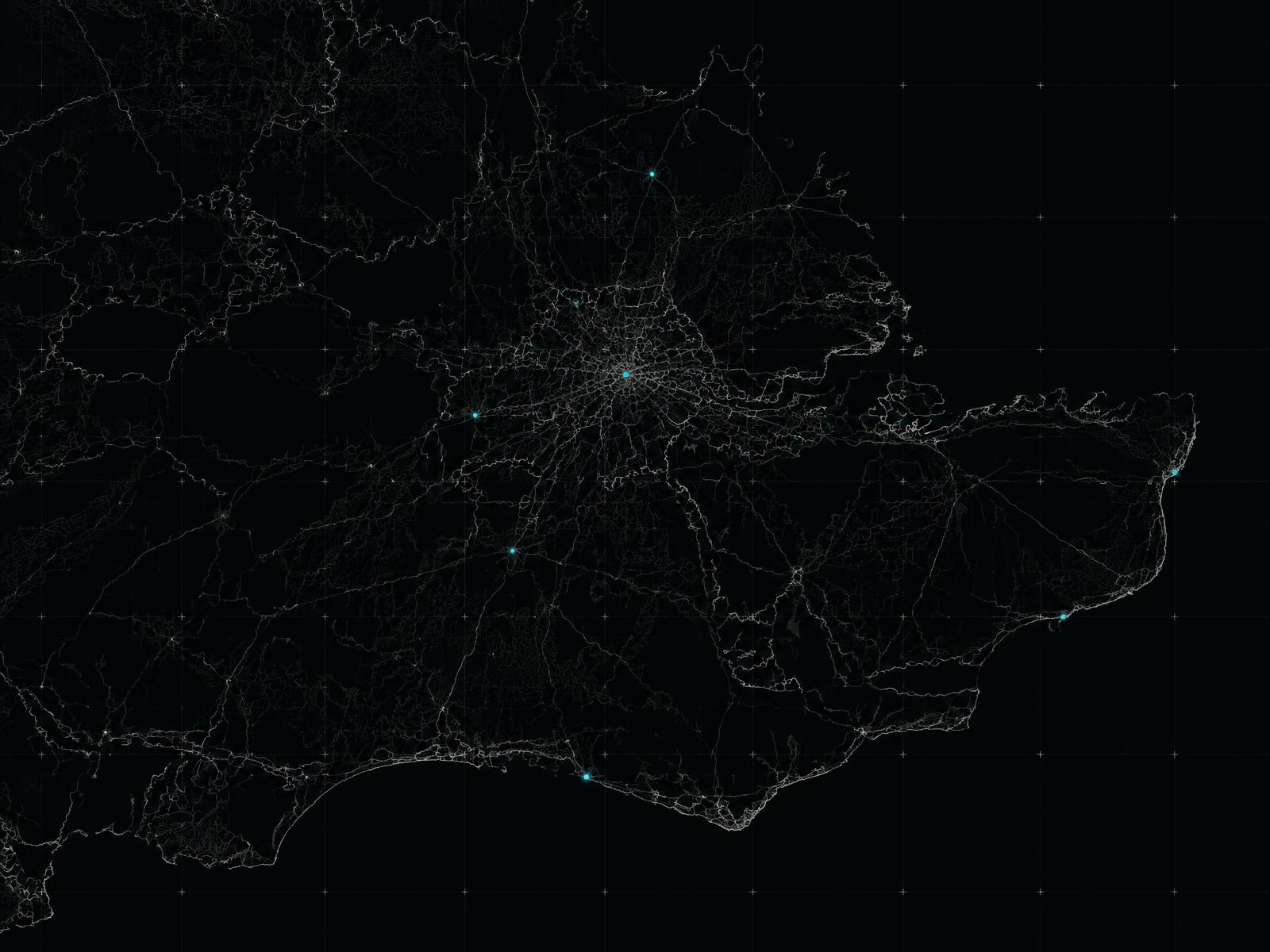
We survey daily across London, Surrey, Sussex, Hampshire, Berkshire and Kent, and travel further for national clients and multi-site programmes.


Cadmap Limited offer Topographic Land Surveys, GPR Utility Surveys using Ground Penetrating Radar to PAS128 standards and Measured Building Surveys, we provide a wide range of specialised surveying services. We produce Land Surveys in London Surrey and beyond, Measured Building Surveys London and surrounding areas, Measured Building Surveyors in London, Site Level Surveys , Site Engineering Setting Out in London, Movement Monitoring Surveys for structural investigations, PAS 128 Underground Utility GPR Surveys London and surrey, and CCTV Drainage Surveys operating primarily in Surrey and London, Southampton, Portsmouth, Brighton, Sussex, and the South of England. Land and building surveyors Surrey. Drone Surveying and UAV Drone Survey carried out to tight specifications.
Cadmap Limited are committed to delivering precise and reliable Digital Survey Data surveying solutions across Surrey, Sussex,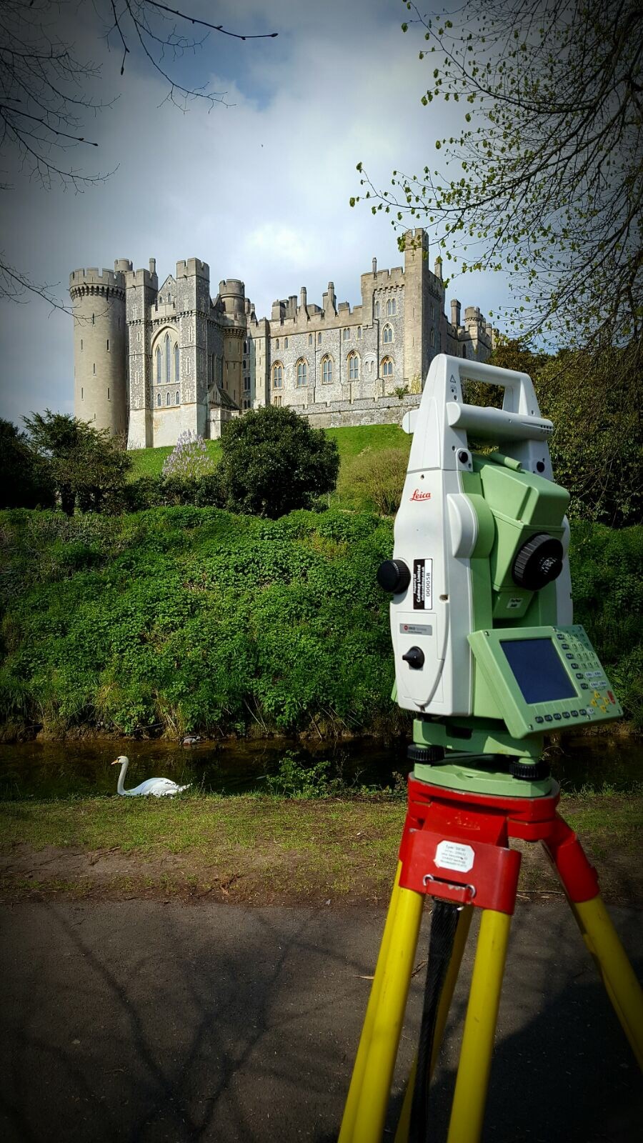 and London.
With commitment to accuracy and detail, we specialise in Topographical Surveys, Measured Building Surveys, and PAS 128 Utility GPR Surveys, delivering comprehensive data that supports informed decision-making for a wide range of projects.
Our experienced team utilises the latest technology and industry standards to provide high-quality, actionable insights for architects, engineers, planners, and developers. From mapping out existing landscapes with detailed topographical data to capturing essential structural information in our measured building surveys, and identifying underground utilities with our PAS 128-compliant Ground Penetrating Radar (GPR) surveys, we ensure every aspect of your project is thoroughly mapped and documented.
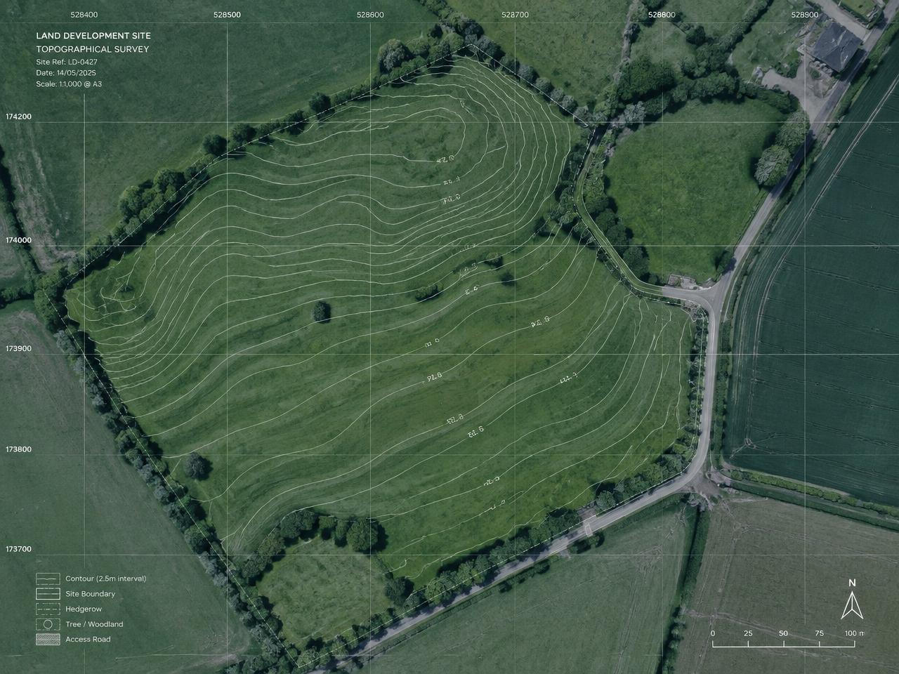
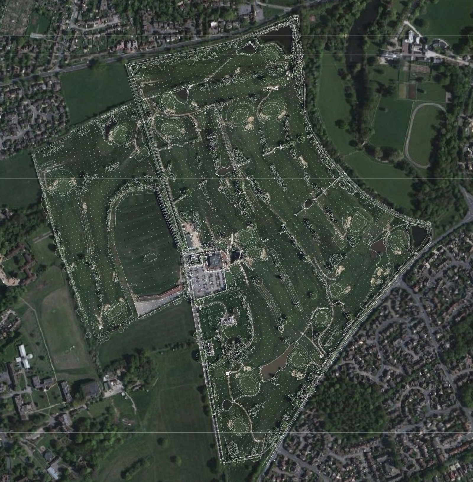
A Topo survey below:
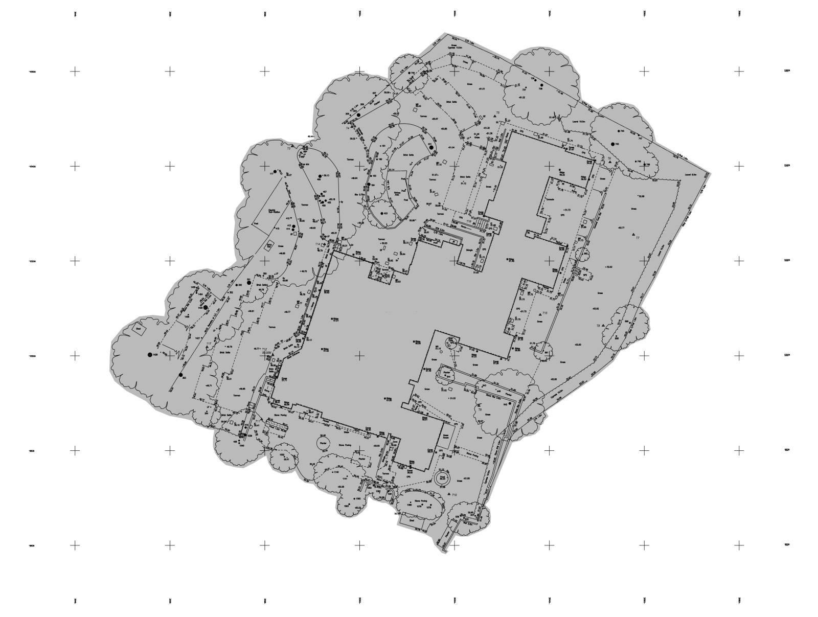
The company has over 30 years experience within the construction industry, providing professional Land Surveys and Measured Building Survey drawings to developers, architects and Civil And GPR Utility Surveying (GPR) and CCTV Drainage Surveys.
- topographical survey
- land survey services
- boundary survey
- construction survey
- measured building survey
- utility mapping survey
- PAS 128 survey
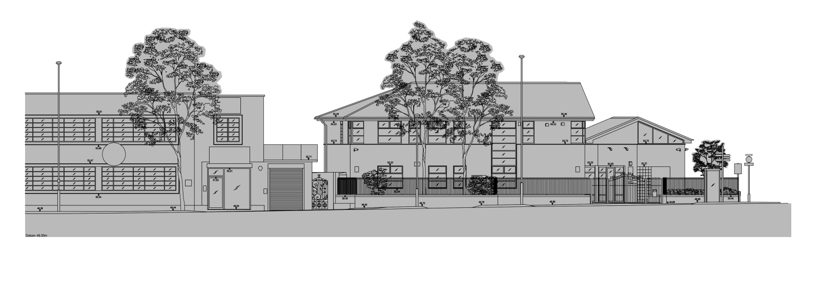
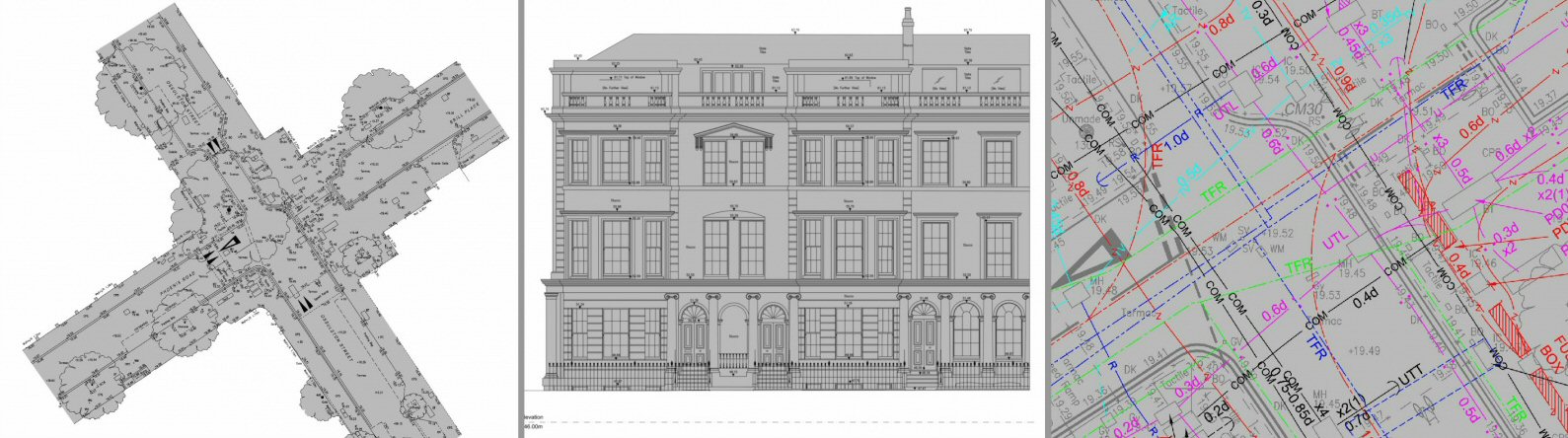
- topographical survey Surrey
- land surveyor Manchester
- building surveyor Birmingham
- GPS surveyor Bristol
Cadmap has surveying offices in prime locations to serve our expanding work load, such as the Land Surveying office London which is located 20 minutes from Central London, East and West London, and surveying jobs north of the M25. The land surveying Surrey offices are situated in London, Woking, Brighton and Southampton, these serves Guildford and surrounding towns in Surrey, Woking, Hampshire, Berkshire, Kent, The Land Surveying Office in Brighton enables Cadmap to cover the South Coast and area to the East of England such as East Sussex and Kent, Cadmap has another small land surveying office located in Horsham which operates in West Sussex, East Sussex, Brighton areas and Kent, The latest office Cadmap opened was the Land Surveying Office in Southampton. Land Survey company in London. Land surveying office in Southampton that also serves Portsmouth, Bournemouth areas. Land Surveyors Southampton. Measured building surveys surveyors Brighton, land surveyors in london, land surveyor surrey.
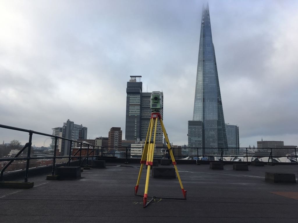
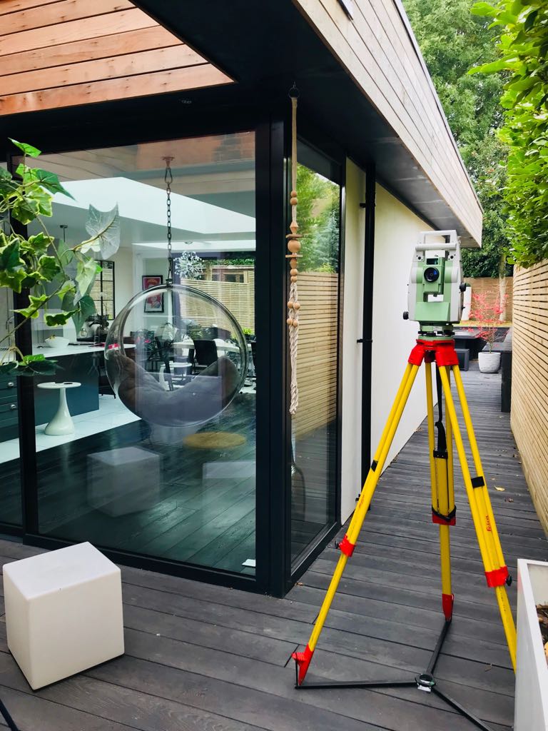
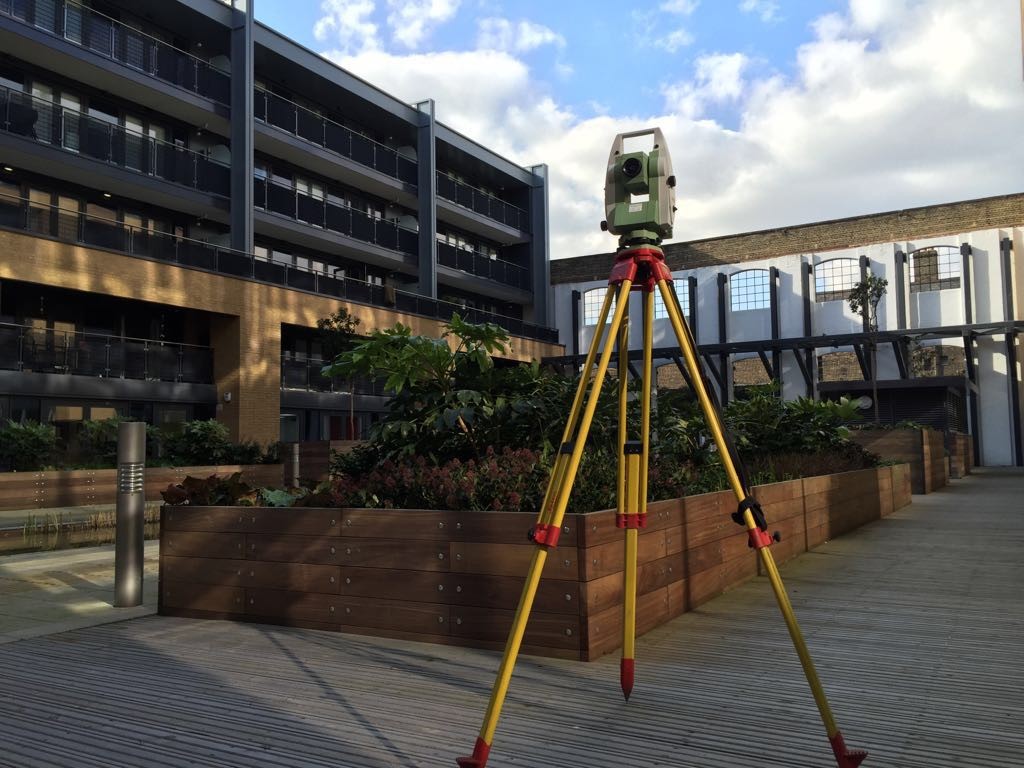
Cadmap's highly experienced land topographical surveyors undertake land and measured building surveys using Leica 1200-1100 series Robotic Total Stations and Leica GPS, P20 Leica laser scanners, Zeb Revo Rt scanner, Leica RTC 360 Scanners, the survey data captured is highly accurate which offers architects, developers,designers and the general public a true reliable representation of their site which is presented on digital plan format or hard copy. Land surveyor Brighton. Land surveyors surrey. Topographical surveys Surrey. Land Surveyors Near me.

Topographical
Accurate topographical land surveys of the site for clients such as, planners, architects, designers and developers.
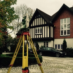
Measured
Right of Light issues, Building Refurbishment, Record Drawings, Listed Building Survey, Heritage Survey etc.
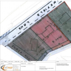
Boundaries
Essential to any client wishing to register new plots to the Land registry or to dispute an encroachment.
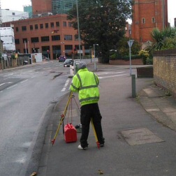
Utilities
GPR surveys, Radio Detection Scanning, Drainage Surveys & CCTV Drainage Surveys.
CAD
We provide high quality Cad services to Architects, Surveyors and Developers in London, Surrey and surrounding areas.