
3D laser scanning · BIM
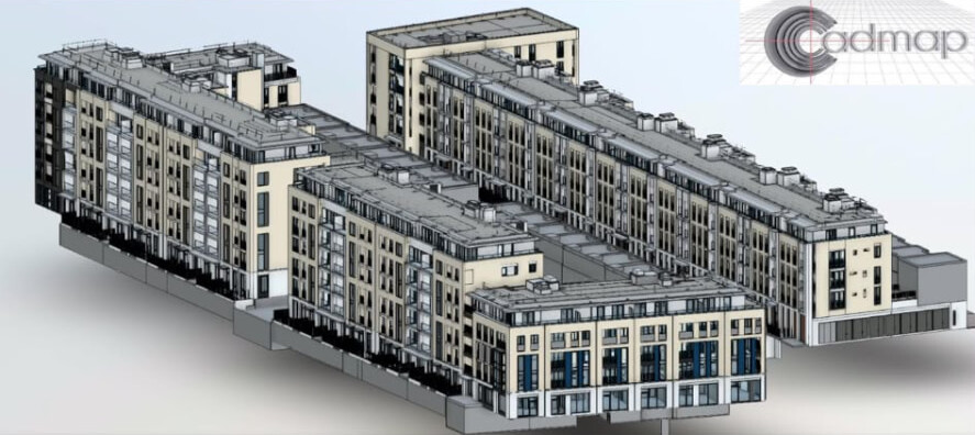
BIM Revit model — residential development
A full Revit model of a multi-block residential scheme, built from measured survey data for the design team.
TSA approved practice · PAS 128 utility surveys · London & the South of England
Selected work
A selection of survey work from our portfolio — from single sites to multi-site national programmes.
3D laser scanning · BIM
A full Revit model of a multi-block residential scheme, built from measured survey data for the design team.
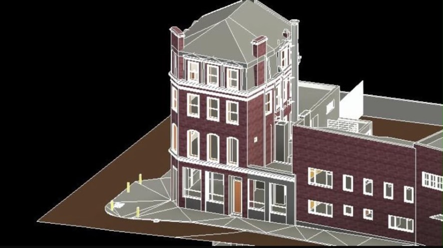
Measured building survey
A textured 3D model of a period corner building and its neighbours, with the surrounding pavement surface.
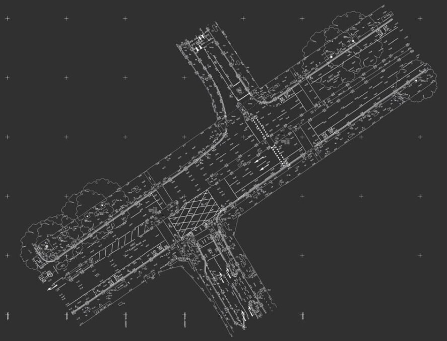
Topographical survey
Detailed topographical drawing of a road junction — kerbs, road markings, street furniture and trees.
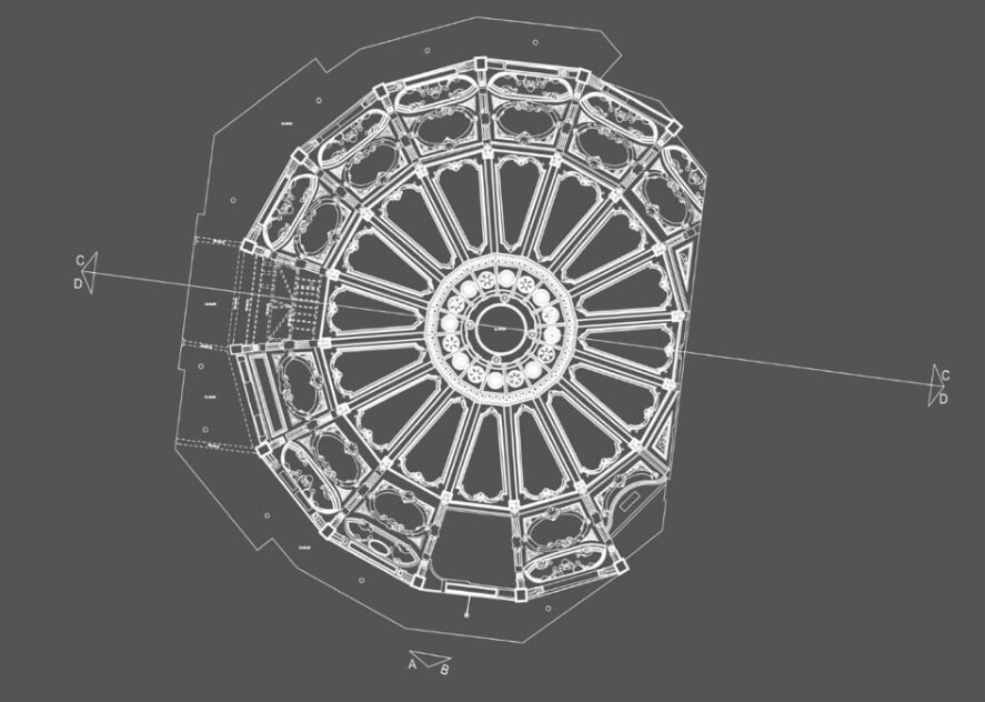
Measured building survey
Measured reflected ceiling plan of a domed interior, with section lines for elevations.
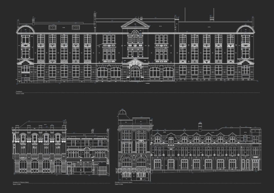
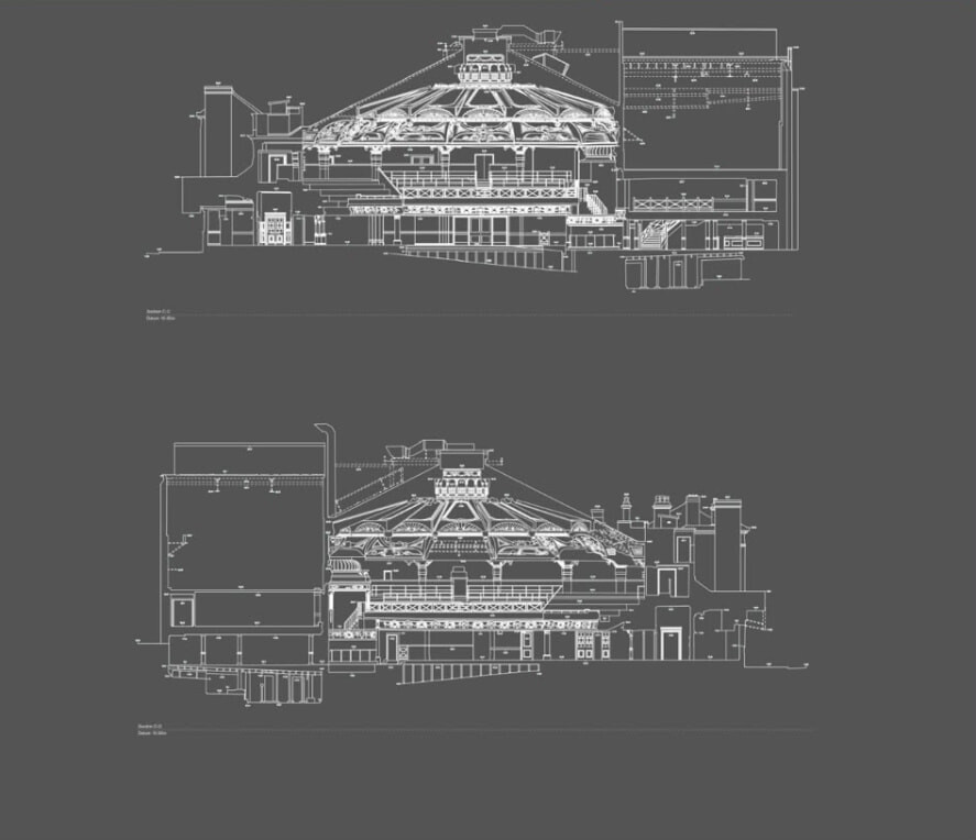
Measured building drawings
3D scan of Buckingham Palace
Topographical survey
Cobham, Surrey
A three-dimensional topographical survey of the site with levels, contours and detail tied to OS grid, issued as a 3D AutoCAD model for design.
3D laser scanning
Dunsfold Park, Surrey
Full 3D laser scan of a Boeing 747 at Dunsfold Aerodrome, registered into a single point cloud for modelling and visualisation.
Highway topographical survey
London
Highway levels, kerb lines, ironwork and street furniture recorded and drawn for highway design and section production.
GPR utility survey
Surrey
Utility detection across an operational forecourt using the Leica DS2000 GPR and Geomax GPS, plotted as a PAS 128 utility mapping drawing.
Topographical & utility survey
London, Brighton, Southampton, Portsmouth & beyond
Combined topographical and PAS 128 utility surveys across over 250 petrol station sites for MFG Group and BP to support EV charge-point design.
CCTV drainage survey
Clapham, London
Manholes lifted and drainage runs surveyed by camera, with invert levels, flow directions and pipe sizes recorded in a Wincan condition report and drainage plan.
Measured building survey
Brighton, East Sussex
Floor plans and GIA area calculations produced from measured survey data for refurbishment and area schedule purposes.
Topographical survey
Berkshire
Large-area topographical survey of a golf course with contour modelling for future development and course design work.