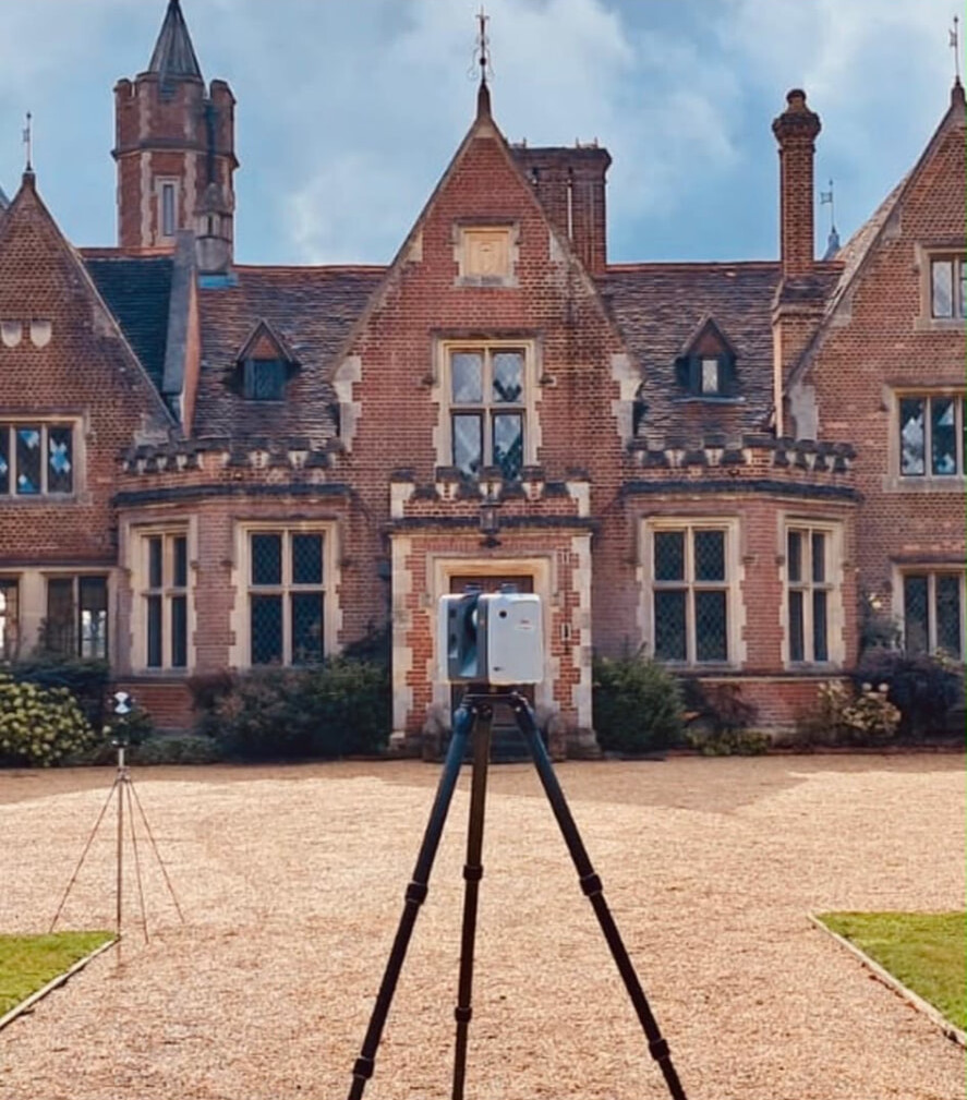
Cadmap has over 30 years of experience within the construction industry, working for architects, property developers, civil and structural engineers, planners, contractors and home owners. That background means we understand how survey data is used downstream — in planning drawings, design models, engineering calculations and on site.
We are a TSA (The Survey Association) approved surveying practice, and our surveys are produced in accordance with RICS specifications. We are also registered with CHAS, Constructionline and SMAS, and our surveyors are CSCS carded and CRB checked, with confined-space and drainage certification where the work requires it.
Fieldwork is carried out with Leica robotic total stations, Leica and Geomax GPS, the Leica ScanStation P20 laser scanner, Leica DS2000 and IDS GPR, and camera drainage systems. Data is processed in SCC, Geosite Survey Office, Leica Cyclone and Wincan, and drawn or modelled in AutoCAD, Revit and 3DS Max — so deliverables arrive in the formats your team already works in.
Accuracy is the point of everything we do: surveys tied into Ordnance Survey grid and datum where required, checked before issue, and backed by a team you can call with questions. Company registration number 07622300.
30+
Years in construction
Over 30 years of experience within the construction industry, producing survey data for developers, architects and engineers.
TSA
Approved practice
A TSA (The Survey Association) approved surveying practice, with surveys produced in accordance with RICS specifications.
PAS 128
Utility surveys
Underground utility detection to PAS 128 Levels A–D using Ground Penetrating Radar and radio detection.
4
Regional offices
London, Surrey, Brighton and Southampton offices covering London, Surrey, Sussex, Hampshire, Berkshire and the South of England.
Meet the team
The people behind the data
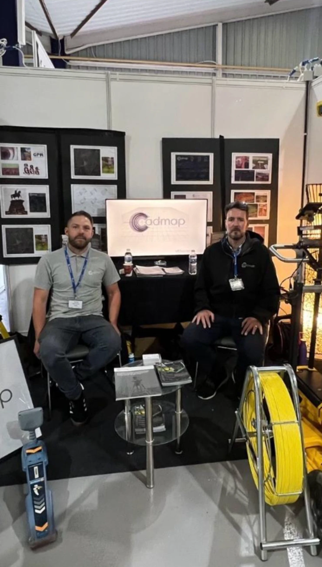
Talk to us at industry events or on the phone — the surveyors you speak to are the ones who carry out and draw your survey.
Accreditations
Pre-qualified for construction sites
TSA
The Survey Association
Cadmap Limited are proud members of The Survey Association.
CHAS
Contractors Health & Safety Assessment Scheme
Health and safety pre-qualification for construction sites.
Constructionline
Constructionline registered
Pre-qualified supplier for public and private sector work.
SMAS
Safety Management Advisory Services
SSIP-recognised health and safety accreditation.
How we work
From first call to final drawing
- 01
Discuss your project
Tell us the site, the drawings you need and the deadline you are working to. We advise on the right survey type and specification, then return a free written quotation — usually within 24 hours.
- 02
Survey & data collection
Our CSCS-carded, CRB-checked surveyors attend site with Leica robotic total stations, GPS, 3D laser scanners, GPR and CCTV drainage equipment, tying everything into OS grid and datum where required.
- 03
Process & analyse
Survey data is processed in SCC, Geosite Survey Office, Leica Cyclone and Wincan, then drawn in AutoCAD or modelled in Revit so that it matches your project's layering and output standards.
- 04
Deliver accurate data
You receive fully checked drawings, models, point clouds or condition reports in the formats your design team works in — with our team on hand for queries and revisions.