What Is a GPS or GNSS Survey?
A GPS/GNSS survey uses satellite positioning equipment to determine the location of points on the Earth’s surface within a defined coordinate reference system.
Depending on the brief, services may include:
- Positioning of survey control points
- Site coordinate establishment
- Collection of geospatial features
- Land and infrastructure surveys
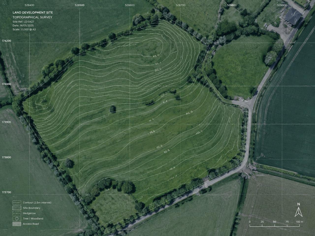
- Positioning support for topographical surveys
- Construction and engineering survey support
- Coordinate checks and agreed control observations
- Integration with total station or other survey methods
The required coordinate reference system, datum, control methodology and accuracy should be agreed before work starts.
GPS, GNSS and Total Station Surveying
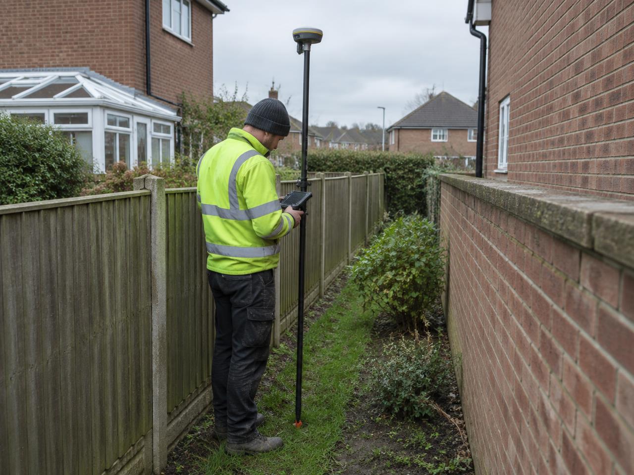
GNSS can be highly effective in open areas with suitable satellite visibility. However, tall buildings, trees, restricted sky visibility, reflective surfaces and other conditions can affect results.
For this reason, GPS/GNSS is not always the best standalone method for every site.
Where appropriate, Cad-Map can use GNSS alongside total stations, established survey control and other measurement methods to provide a suitable approach for the project.
The choice of equipment and methodology is based on the site conditions and required outputs, not on a single technology being suitable for every situation.
Applications for GPS/GNSS Surveys
GPS/GNSS surveying can support:
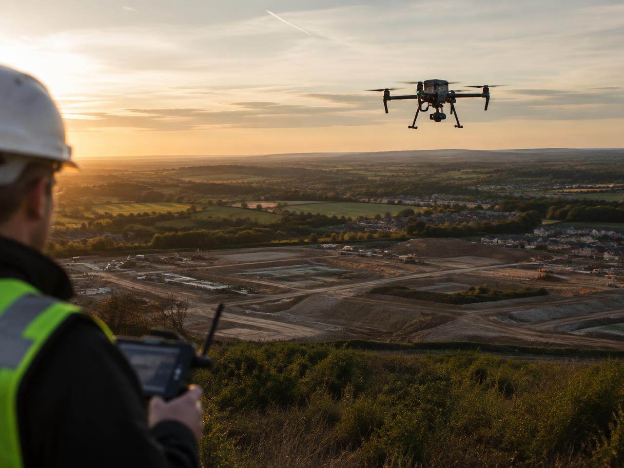
- Land and topographical surveys
- Site control and coordinate establishment
- Infrastructure and engineering projects
- Construction survey support
- Mapping of suitable site features
- Survey control for larger or open sites
- Integration with other geospatial datasets
The specific deliverables depend on the agreed scope.
Coordinate Systems and Survey Control
Survey coordinates are only useful when their reference system is understood and appropriate for the project.
Before surveying begins, it is important to confirm the required coordinate system, height datum, control requirements and any client-specific standards.
Where a project requires a relationship between local site coordinates and a national grid or datum, this should be defined as part of the survey specification.
GPS/GNSS Surveys Across London and the Home Counties
Cad-Map targets GPS/GNSS surveying projects across London, Surrey, Sussex, Hampshire, Berkshire, Kent, Essex, Hertfordshire, Buckinghamshire, Bedfordshire and Oxfordshire.
Our coverage includes Guildford, Woking, Cranleigh, Dorking, Horsham, Crawley, Brighton, Winchester, Basingstoke, Reading, Slough, Maidstone, Chelmsford, Watford, Aylesbury, Luton and Oxford.
Frequently Asked Questions
What is the difference between GPS and GNSS?
GPS is one satellite navigation system. GNSS is the broader term covering multiple satellite systems that compatible equipment can use.
Is GPS accurate enough for construction surveying?
It can be suitable for many tasks, depending on equipment, method, satellite visibility, control and required tolerances. Some applications require total stations or other methods.
Can GPS be used near buildings?
Tall buildings and restricted sky visibility can reduce positioning reliability. The surveyor should assess the site and select an appropriate method.
Can you establish survey control for a project?
Survey control and coordinate establishment can be included where specified. The required datum, reference system and accuracy should be confirmed in advance.
Discuss Your GPS/GNSS Survey Requirements
Contact Cad-Map to discuss your site, coordinate requirements and intended use of the survey information.