3D laser scanning · BIM
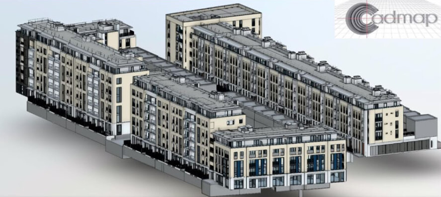
BIM Revit model — residential development
A full Revit model of a multi-block residential scheme, built from measured survey data for the design team.
Land, building & utility surveys · London & the Home Counties

Specialist Land, Utility and Geospatial Surveyors
Cad-Map delivers professional surveying and geospatial solutions for developers, architects, civil engineers, construction companies and infrastructure professionals.
From underground utility mapping and PAS 128 GPR surveys to detailed topographical surveys, measured building surveys, laser scanning and engineering setting out, we provide accurate site information to support confident planning, design and construction.
Combining experienced survey professionals with advanced measurement and detection technology, we help clients understand existing site conditions, identify constraints and make informed decisions throughout the project lifecycle.
Whether you are developing a residential site, refurbishing a commercial building, designing infrastructure or preparing for complex groundworks, Cad-Map provides a specialist surveying partner focused on quality, precision and practical results.
One surveying partner. Multiple specialist disciplines. Connected project information.
Reliable survey information is fundamental to successful construction. Inaccurate levels, incomplete building records and unidentified underground services can create unnecessary risks, design changes and delays.
Cad-Map brings together complementary surveying disciplines to help clients establish a clear understanding of their sites before work begins.
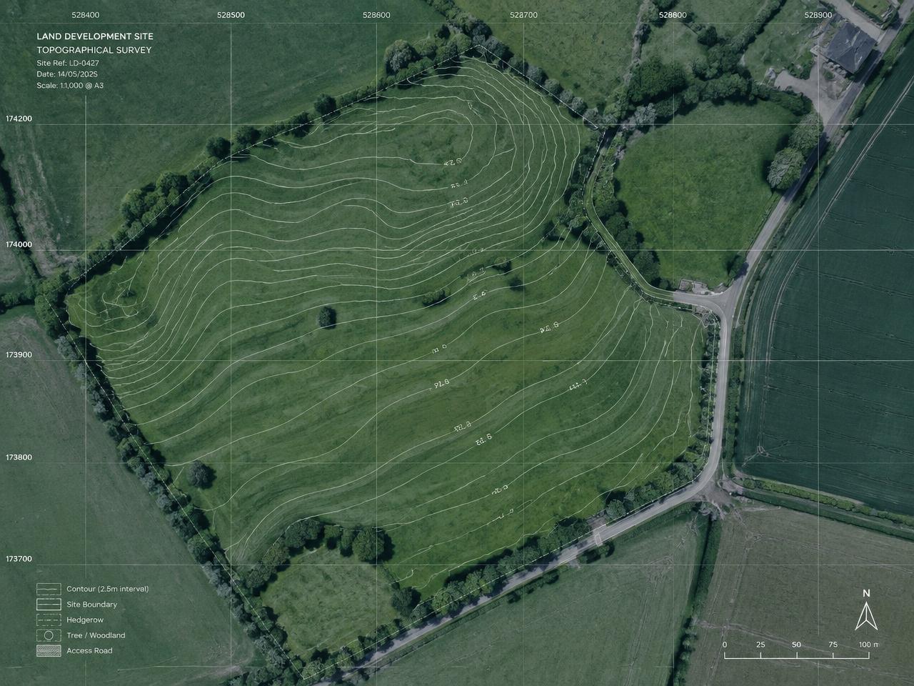
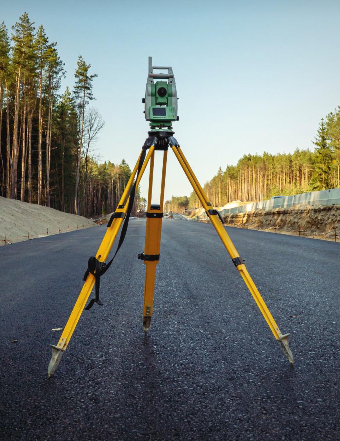
Detailed mapping of existing site features, levels, terrain, buildings, roads and other relevant physical features to support planning, architecture and engineering design.
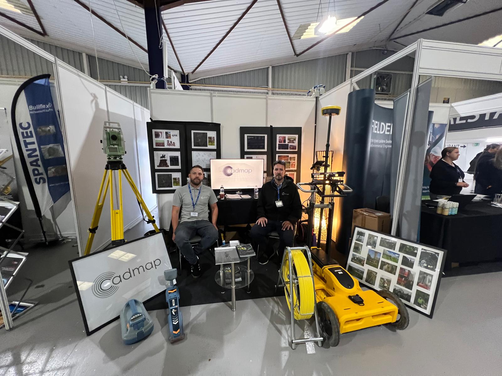
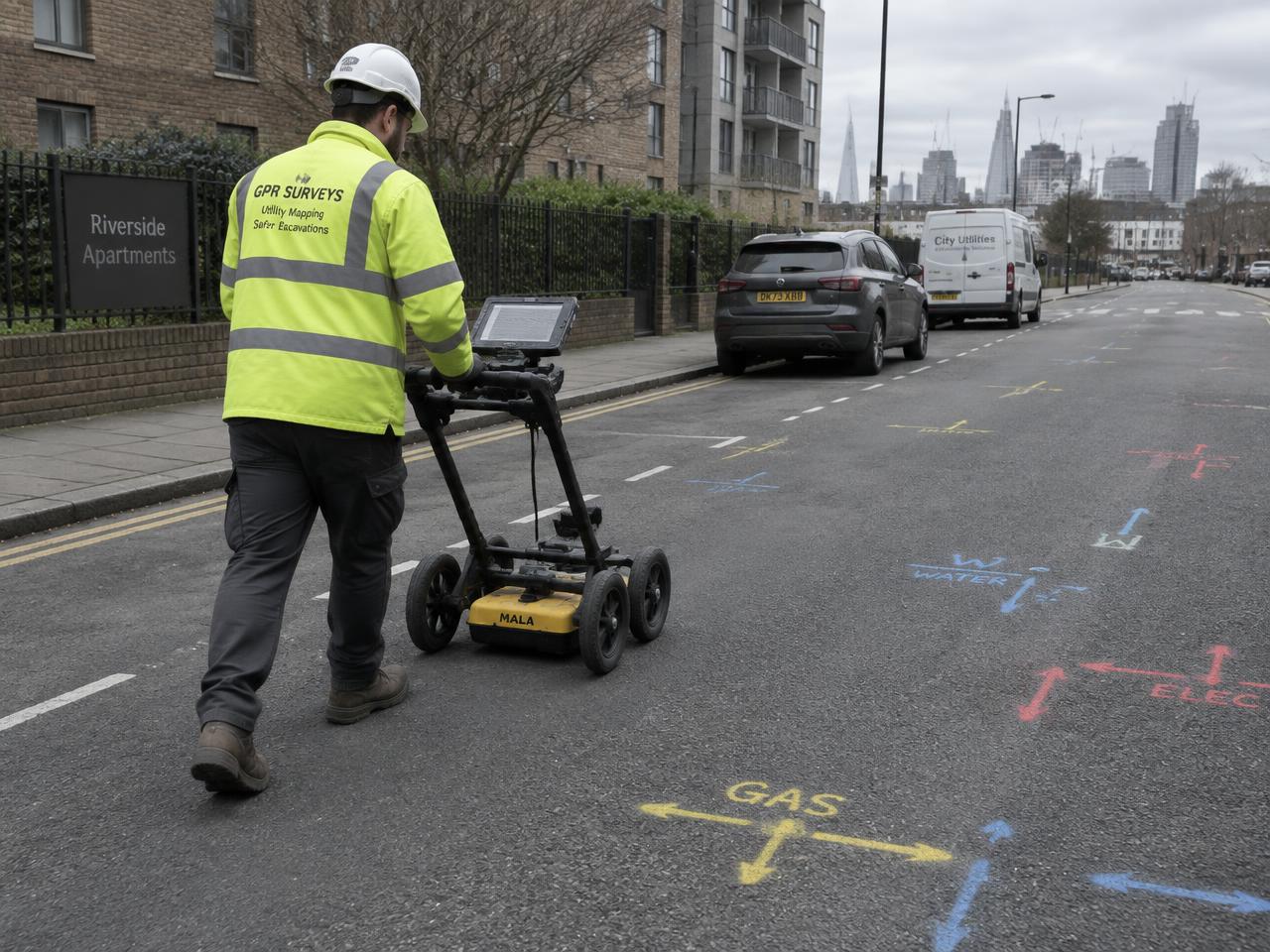
Specialist underground utility investigations combining appropriate detection techniques and survey positioning to help identify buried services and communicate the findings clearly.
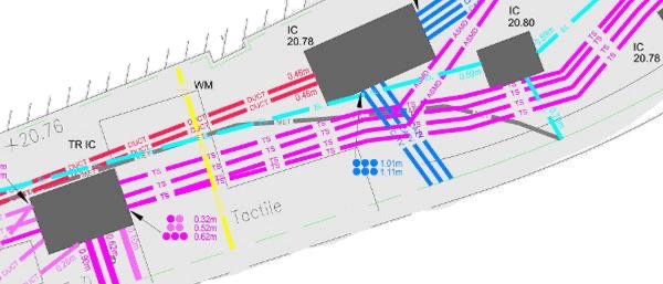
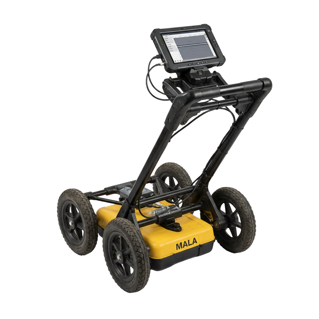
Professional detection and mapping of underground cables, pipes and other utility infrastructure to inform design development, excavation planning and construction.
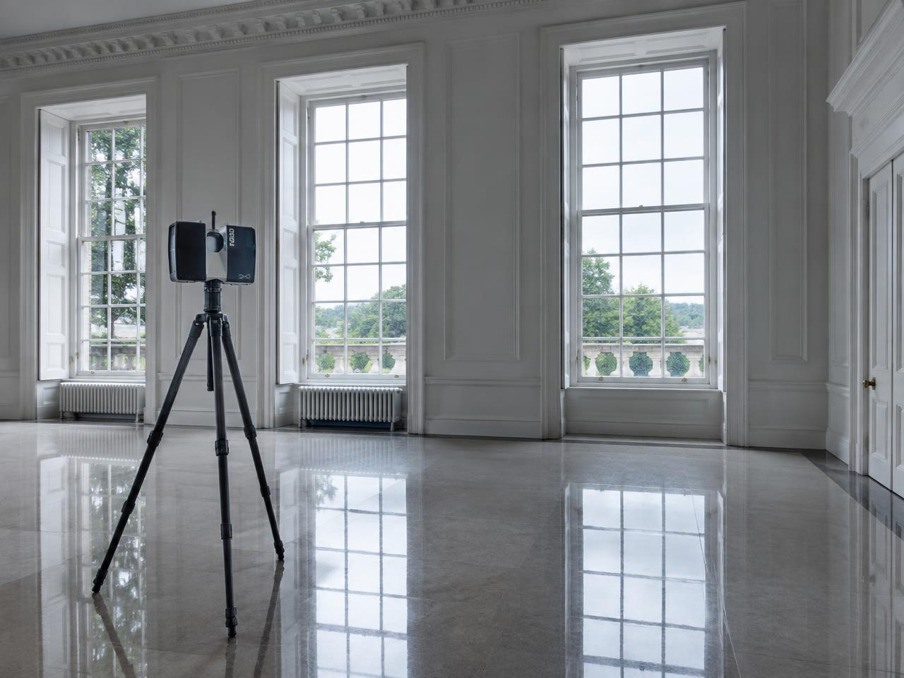
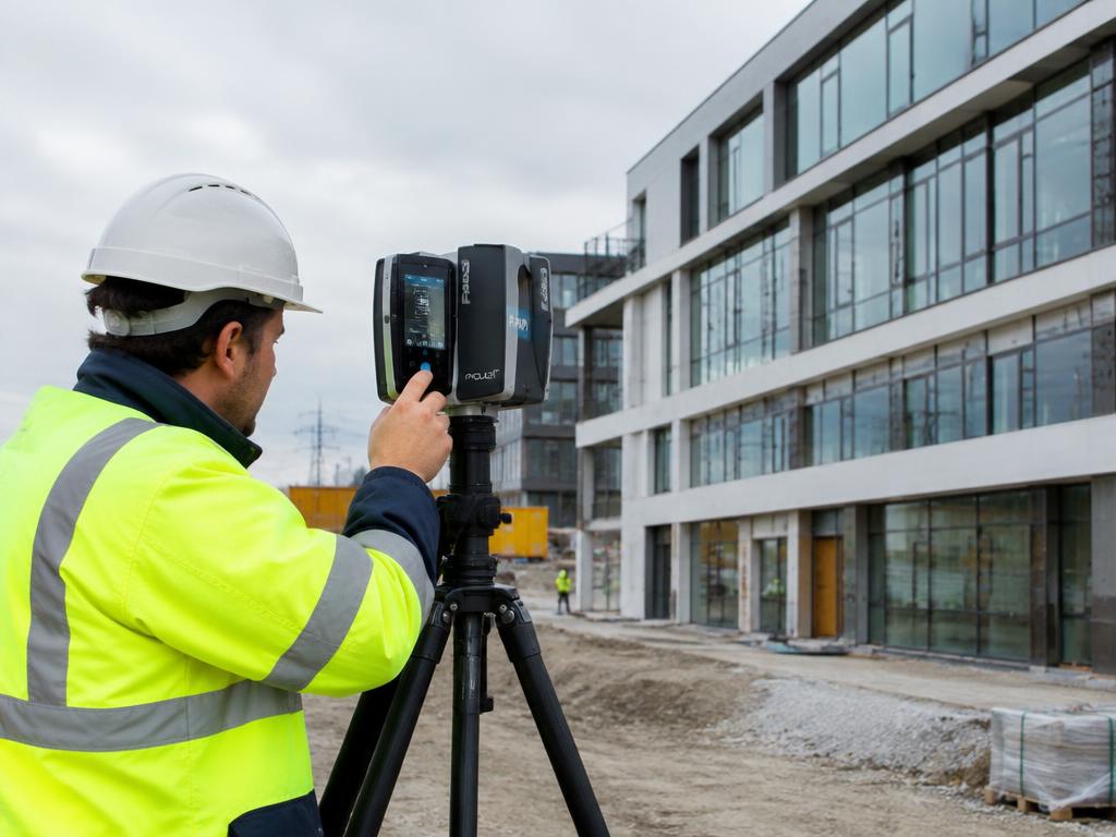
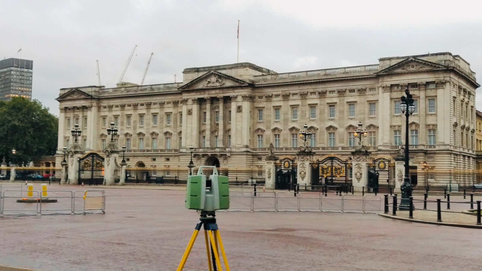
Accurate existing-building information using suitable measurement and laser scanning techniques, with deliverables including plans, elevations, sections, point clouds and agreed BIM models.
From GPS/GNSS surveys and drainage investigations to structural monitoring, setting out and UAV drone surveys, Cad-Map supports a wide range of development and infrastructure requirements.
Examples of our work
3D laser scanning · BIM
A full Revit model of a multi-block residential scheme, built from measured survey data for the design team.
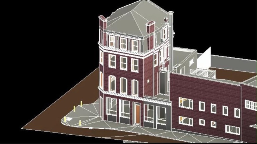
Measured building survey
A textured 3D model of a period corner building and its neighbours, with the surrounding pavement surface.
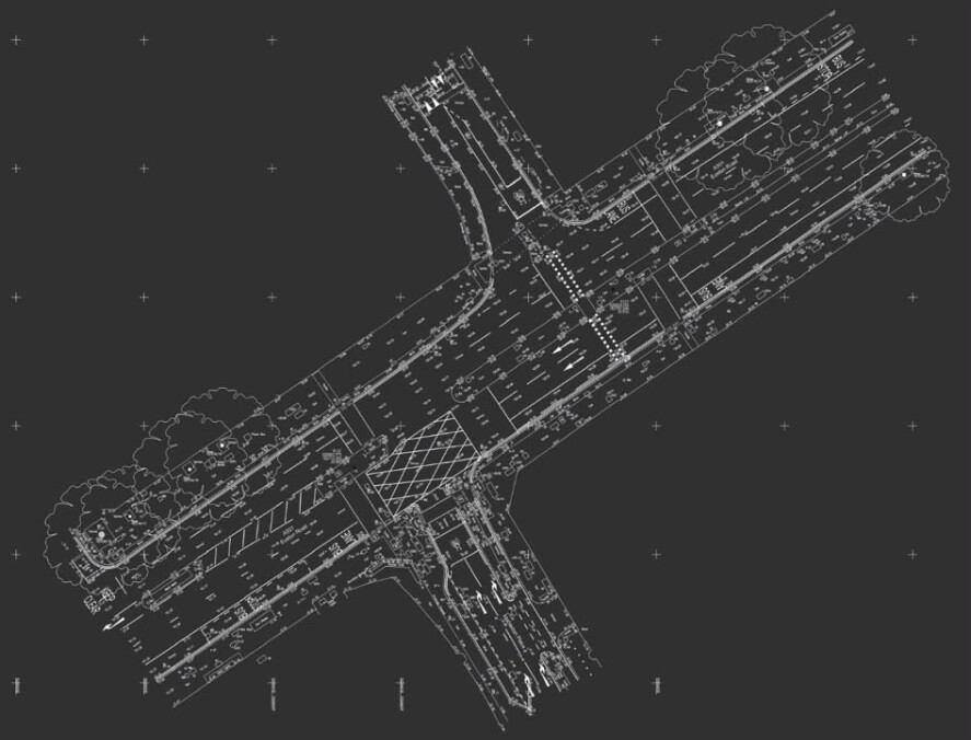
Topographical survey
Detailed topographical drawing of a road junction — kerbs, road markings, street furniture and trees.
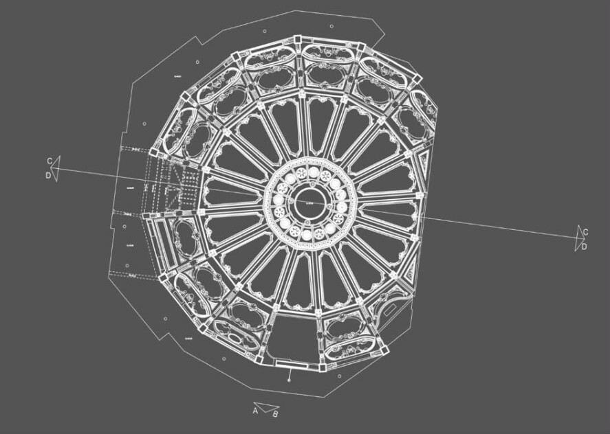
Measured building survey
Measured reflected ceiling plan of a domed interior, with section lines for elevations.
CADMAP album
Explore a selection of floor plans, elevations and building sections, alongside original CADMAP display artwork.
Above-ground and below-ground information often needs to be considered together. Topographical data, building geometry, drainage infrastructure and underground utilities can all influence a project’s design and construction strategy.
By coordinating relevant surveying disciplines, Cad-Map helps clients develop a more complete understanding of existing conditions.
Our services can support:
Survey scope and deliverables are agreed to suit the requirements of each commission.
We use appropriate surveying, positioning, scanning and detection equipment to capture information suited to the project brief.
Technology is only part of the solution. A successful survey also depends on experienced operators, suitable methodology, effective quality control and clear presentation of the results.
Cad-Map focuses on delivering information that design teams and contractors can understand, coordinate and use.
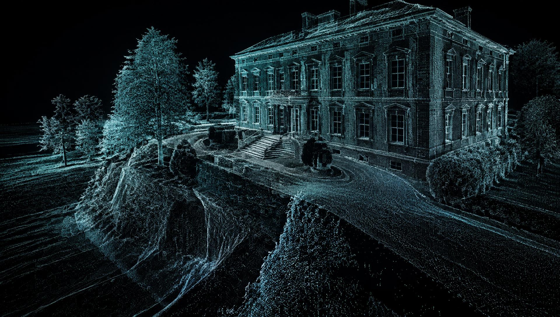
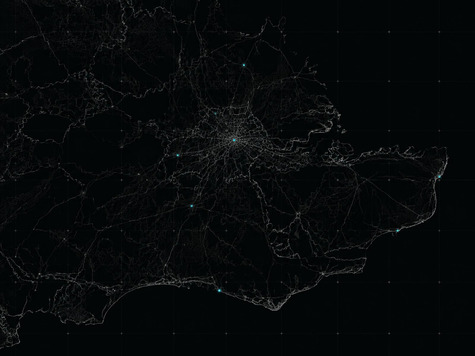
Cad-Map targets surveying projects throughout London and the surrounding counties, including Surrey, Sussex, Hampshire, Berkshire, Kent, Essex, Hertfordshire, Buckinghamshire, Bedfordshire and Oxfordshire.
Our service area includes locations such as Guildford, Woking, Cranleigh, Horsham, Crawley, Brighton, Winchester, Basingstoke, Reading, Slough, Maidstone, Chelmsford, St Albans, Watford, Aylesbury, Luton and Oxford.
Whether your project is in Central London, a Surrey development site or a major construction scheme elsewhere in the region, contact us to discuss your requirements and availability.
Cad-Map provides land topographical surveys, PAS 128 GPR surveys, utility detection, measured building surveys, GPS/GNSS surveys, drainage and CCTV drainage surveys, structural monitoring, site setting out and UAV drone surveys.
Yes. Cad-Map targets projects throughout London and Surrey, as well as Sussex, Hampshire, Berkshire, Kent, Essex, Hertfordshire, Buckinghamshire, Bedfordshire and Oxfordshire.
Multiple surveying disciplines can be commissioned where appropriate. The scope, sequencing, deliverables and any site-specific limitations are agreed with the client.
Provide the project location, approximate site size, required survey services, intended use and preferred deliverables. Existing plans, specifications or tender documents are also useful.
Accurate information creates a stronger foundation for design, planning and construction.
Tell us about your project and the survey information you need. Our team can discuss the appropriate scope and deliverables for your requirements.
Blog